
Environment Canada, Meteorological Service of Canada
Type of resources
Topics
Keywords
Contact for the resource
Provided by
Years
Formats
Representation types
Update frequencies
status
-
Engineering Climate Datasets encompasses Intensity-Duration-Frequency (IDF) Files, Canadian Weather Energy and Engineering Datasets (CWEEDS), and Canadian Weather Year For Energy Calculation (CWEC). IDF tabulates and graphs short-duration rainfall statistics across 563 locations in Canada. CWEEDS is a computer dataset of hourly conditions at specific locations, including data from 1953 until 2005. It also includes long term weather records used in urban planning and green building design, as well as estimates of hourly solar radiation amounts. CWEC datasets are created by combining 12 "Typical Meteorological Months" selected from a database of, usually, 30 years of data. Months are chosen by comparing individual means with long term monthly means for daily global radiation, mean, minimum and maximum DB temperature, mean, minimum and maximum dew point temperature, and mean and maximum wind speed.
-
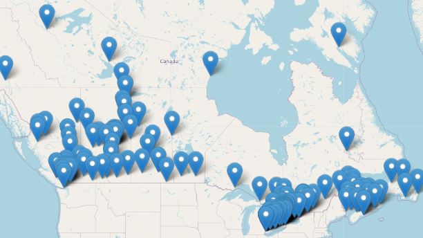
The radar network consists of 31 weather radars spanning Canada's most populated regions, providing coverage to over 95% of the population. The network's primary purpose is the early detection of developing thunderstorms and high impact weather.
-
Meteorological forecasts are datasets that are products of current observations and are used to predict climate conditions for a future time and given location.
-
The Air Quality Health Index (AQHI) is a scale designed to help quantify the quality of the air in a certain region on a scale from 1 to 10. When the amount of air pollution is very high, the number is reported as 10+. It also includes a category that describes the health risk associated with the index reading (e.g. Low, Moderate, High, or Very High Health Risk). The AQHI is calculated based on the relative risks of a combination of common air pollutants that are known to harm human health, including ground-level ozone, particulate matter, and nitrogen dioxide. The AQHI formulation captures only the short term or acute health risk (exposure of hour or days at a maximum). The formulation of the AQHI may change over time to reflect new understanding associated with air pollution health effects. The AQHI is calculated from data observed in real time, without being verified (quality control).
-
Station Catalogue (WMO Volume A Report - Canada) lists all Canadian surface and upper air stations providing synoptic meteorological reports, their operational activities and essential detailed information.